
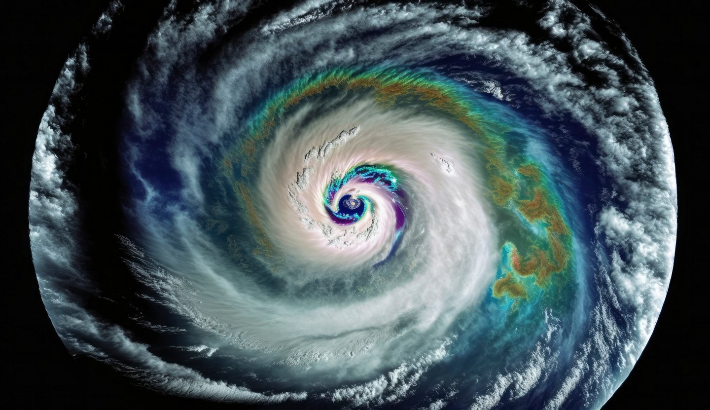
New analytical models allow for greater preparedness for the violent hurricane and typhoon season ahead.. © Vecteezy
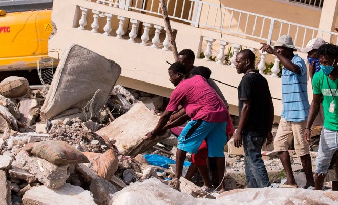
Farmers in the Honduran department of El Paraíso are on alert starting in July. For them, the rainy season that has begun usually brings hurricanes, some of which have been devastating. Everyone remembers Iota and Eta, which consecutively struck the region four years ago. The overflowing rivers and landslides destroyed cereal crops, bananas, papayas, and taro. The devastation extended to the water supply systems, leaving small communities without water.
We witnessed this firsthand in the community of Guayabillas. We restored the water system, which had severe deficiencies due to its age, and helped farmers plan the resilience of small watersheds exposed to flooding. We also rehabilitated the sanitation and hygiene facilities destroyed in the educational centre, thereby cutting off the dangerous transmission of bacterial diseases that always follow this type of disaster.
At the epicentre of Central American migration, Honduras faces a future compromised by political instability, violence, and the climate crisis. The onslaught of hurricanes, whose season runs from June to November, hinders its development.
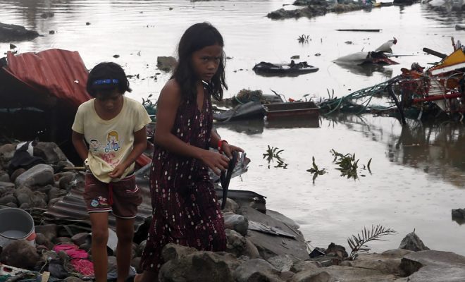
In the Pacific, hurricanes are called typhoons. The catastrophe caused by Typhoon Haiyan in the Philippines in November 2013 was even more devastating. Winds of 235 km per hour swept away the most fragile structures in the provinces of Samar and Leyte in the Eastern Visayas. The World Meteorological Organization (WMO) still records it as the strongest typhoon ever to land.
In this video, which summarizes our emergency intervention, you can see the devastation created and what is most urgently needed in these disasters: a simple container to store and purify water saves many lives.
Resilience begins with a water container, but reconstruction must start immediately afterwards. It is crucial to restore access to water and, above all, repair damaged sanitation systems, which are the main sources of cholera and other diarrheal diseases.
Here are the results of our intervention in Leyte. We restored the water supply and hygiene for 900 families in one of the poorest and hardest-hit areas:
The Forecasts for This Year Are Concerning
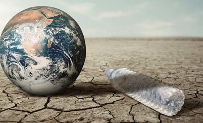
Cyclone season (hurricanes in the Atlantic and typhoons in the Pacific) typically runs from June to November. This year, meteorologists predict one of the most violent seasons in recent years. Central America, Mexico, the Caribbean, the southern United States, and the Philippines are all exposed to a phenomenon that intensifies as climate change progresses.
The forecasts from the National Hurricane Center (NHC) of the U.S. National Oceanic and Atmospheric Administration (NOAA), the world’s leading organization in cyclone prevention in the North Atlantic, predict above-normal activity due to a confluence of factors:
- Exceptionally high temperatures in the Atlantic waters.
- The end of the El Niño phenomenon and the beginning of La Niña in the Pacific.
- Reduced Atlantic trade winds and lower wind shear (the difference in wind speed or direction between two points in the Earth’s atmosphere).
Regarding typhoons, the Japan Meteorological Agency, the reference in the western Pacific, has issued similar forecasts.
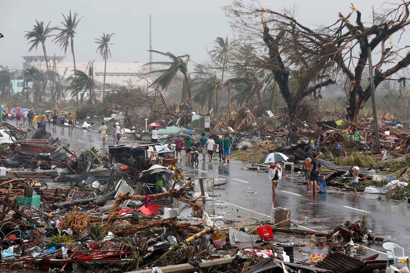
The catastrophe caused by Typhoon Haiyan in the Philippines in November 2013 was devastating. Winds of 235 km per hour swept away the most fragile structures in the provinces of Samar and Leyte in the Eastern Visayas. © mansunides
Good News: Better Alerts and Analytical Tools
Early forecasting saves lives, and NOAA has announced improvements to its alert system for this season. The NHC will expand the availability of its products in Spanish, including all advisories and scientific discussions about tropical cyclones and key messages in the North Atlantic basin, with a special emphasis on the Caribbean and Central America, the regions whose poorest inhabitants always suffer the worst consequences. Additionally, this year, updates to the alerts will no longer have to wait six hours as before; they will be issued as soon as there are significant changes.
Statistically, the peak of the hurricane season usually occurs around September 10th. This year, starting on August 15th, the NHC will begin to release an experimental version of the forecast cone graphic, which includes a representation of tropical storm and hurricane alerts and warnings. This experimental version will initially be available for the continental U.S. areas, but the NHC hopes it will become a key tool for general forecasting in the future.
New forecasting models have also been developed. The most significant innovation is the new generation of flood maps, which, in addition to wind, are the factor that causes the most damage.
Restoring Access to Water: The Foundation of Resilience
In the short term, it is unlikely that we can prevent the damage caused by meteorological violence. Destruction is inevitable, but we can do much to reduce it and, above all, much more to aid resilience.
Our experience shows that solidarity emerges more strongly in the affected communities after a humanitarian catastrophe or the mere loss of property. One of the most effective unifying elements is the restoration of access to water. We learn this lesson from these disasters: possessions may be lost, but nothing can stand against solidarity.