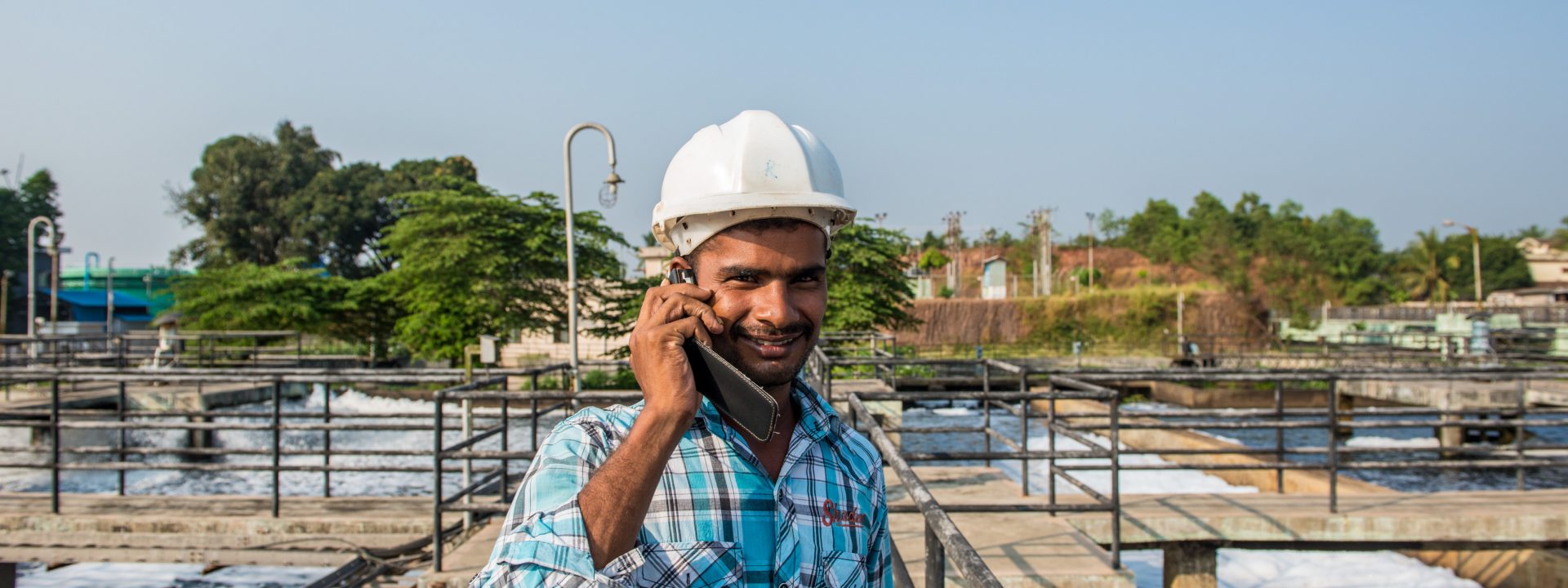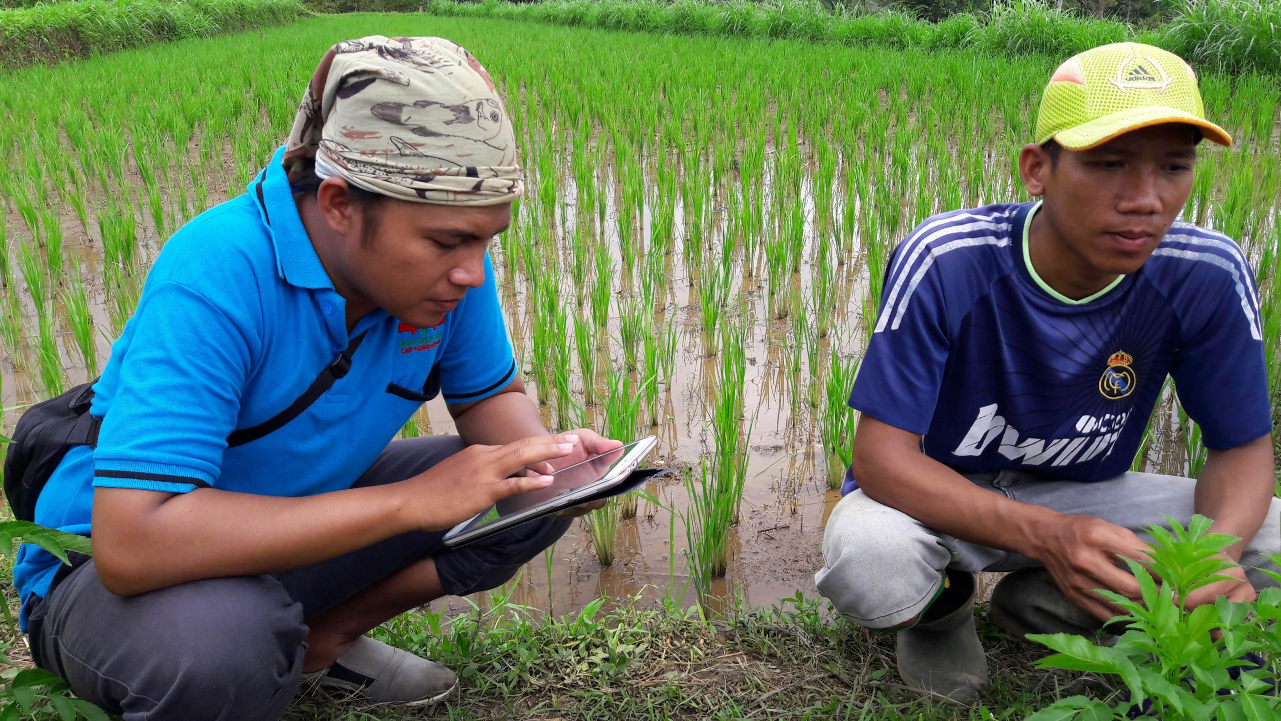
G4AW Smartseeds Indonesia. ©akvo.org / Aulia Rahman
The digital transformation during the 1990s took shape through two technologies that radically changed our relationship with the environment and the way in which the economic and social development were conceived: the global expansion of the GSM mobile phones and Internet. Their fast implementation created the so called “digital divide” between rich and poor countries. In the rich countries, digitalization generated the ICTs, the information and communication technologies, which were able to radically change the management of any resource or service; while the developing countries were still fighting for their survival.
The digital divide, synonymous with hydric divide
From the perspective of the access to water and sanitation, the polarization of the technological development in the last few decades is unfortunately very similar to the one affecting the water resources around the world: there is usually no lack of water or sanitation in the leading countries in technology, while those below the digital divide are home to the over 600 million people with no access to water and the 2.4 billion with no adequate sanitation. These are also the countries where, in general, the drought and floods are more threatening, where their managers have less foresight, as the sensors, home automation, the big data and the algorithms to obtain information are not present in the arid and semi-arid areas menaced by climate change and where it is common for women to walk for miles to collect water for their families.
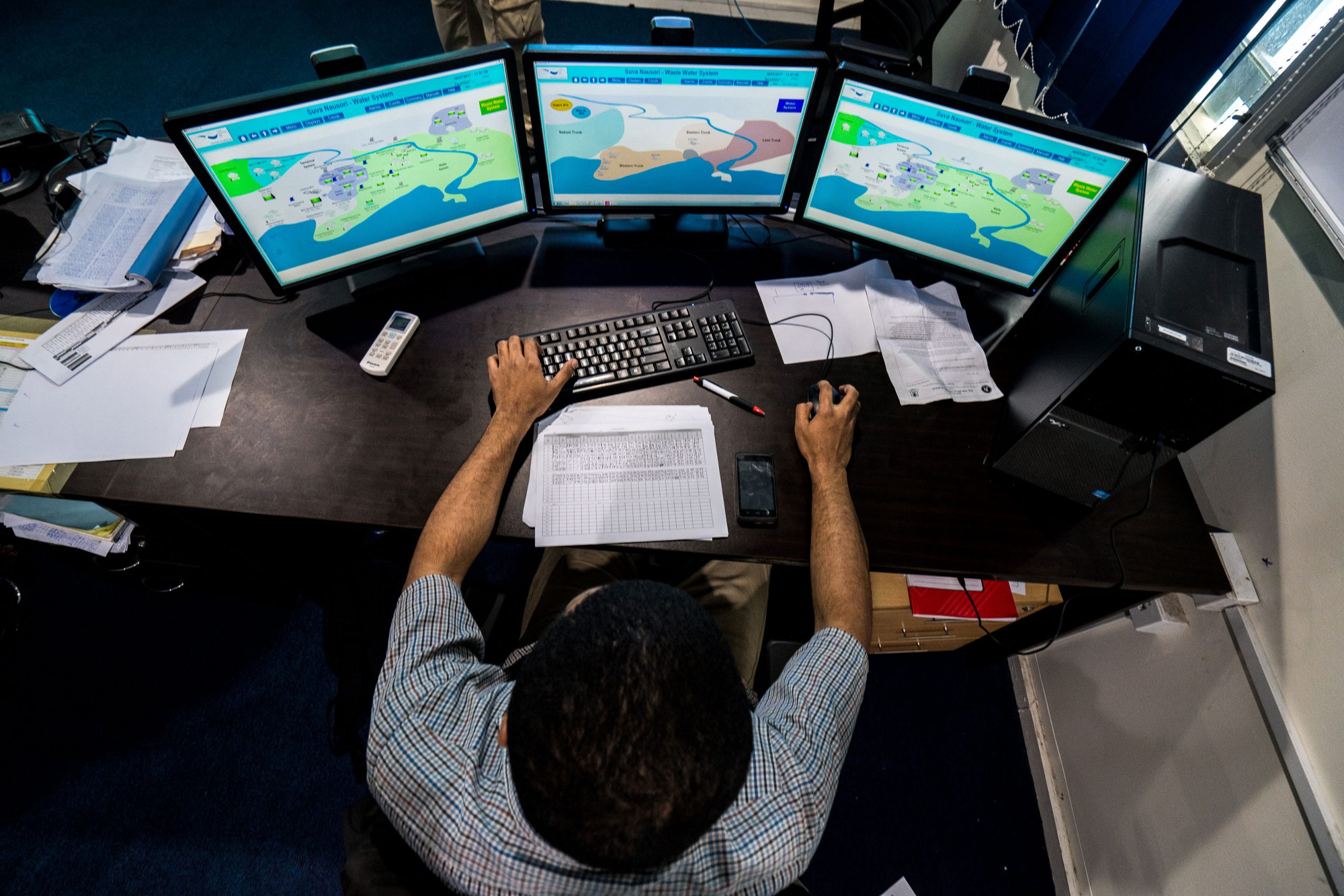
Water Supply and Sewage Project in Fiji. ©Asian Development Bank
Due to the clear differences in financial potential, the integration of the ICTs in water management moves forward at a very wide range of speeds and has very different models. The industrialised countries focus on the creation of the smart water grid (SWG), a smart water network to obtain the maximum efficiency in the saving of resources and energy, to avoid and reduce the pollution and to increase the management efficiency; in those countries with hydric stress, the key goal is to provide access to water, to monitor the supply in real time to avoid collapses, to forecast weather disasters and above all, to provide the society with instruments to make its voice heard and to exert pressure on governments and institutions.
The value of the mobile phone
In 2005, 51 % of the population of the industrialised countries used the Internet, while only 8% of those in developing countries did the same. The subsequent expansion of the Net to the poorest countries has been spectacular, but in 2016 only 40% of their population was connected in clear contrast with the 81% reached in the economically developed countries.
If the Internet penetration in the poor areas of the planet is still insufficient, that of the GSM network is notably better. According to a study by the World Bank, in India the number of inhabitants subscribed to a mobile telephone service doubled the number of people connected to a domestic water supply system in 2015. That same year, in Africa, 82% of its inhabitants had access to GSM coverage while only 63% had adequate access to water. Another significant figure: in 2016 52% of all global money transfers through mobile phones took place in Sub-Saharan Africa.
©American Center Mumbai
Water, where and when?
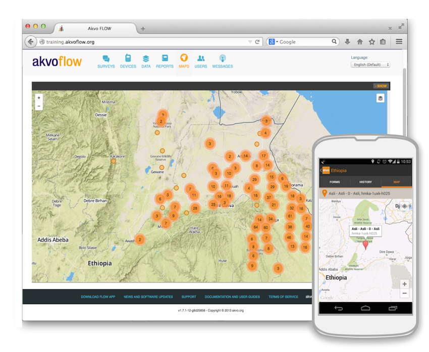
Flow
The fact of owning a mobile phone is no longer an indicator of development, but it offers many possibilities to those who fight for the access to water in poor regions. The user of a mobile phone can replace the sophisticated sensors of the water networks of the industrialised areas providing valuable information, and this is how different initiatives have appeared that show the alternative scope of the ICTs in those areas with no networks or algorithms.
Some successful projects show solutions and very valuable experiences to move forward in the access to water and the control of the management of the supply systems by citizens. The mapping projects are an important aid to provide both access to water sources in arid or semiarid areas and information on their situation. One example of this is the application of the open source FLOW (Field Level Operations Watch), which is designed to take advantage of the penetration of the GSM coverage in those areas with no supply network and geolocate the access to water. It allows the users of a mobile phone with GPS to tag different geographical points and add any type of information, such as photos, videos and surveys and upload it later to Google Earth. It was developed by Water for People (WfP) together with the Akvo Foundation, which has implemented it in various African and Central American countries.
With mWater, another app for open source mobiles and tablets, the water searchers can locate springs, understand their functioning and revise it. Just using a very simple questionnaire they are able to edit the information and create new posts that will be registered on the website. The website had over 350.000 registered points of access to water in August 2017 and it was used by over 10,000 governmental and non-governmental organisations from all around the world. The countries where this system is more implemented are Senegal, Mali, Niger and Benin.
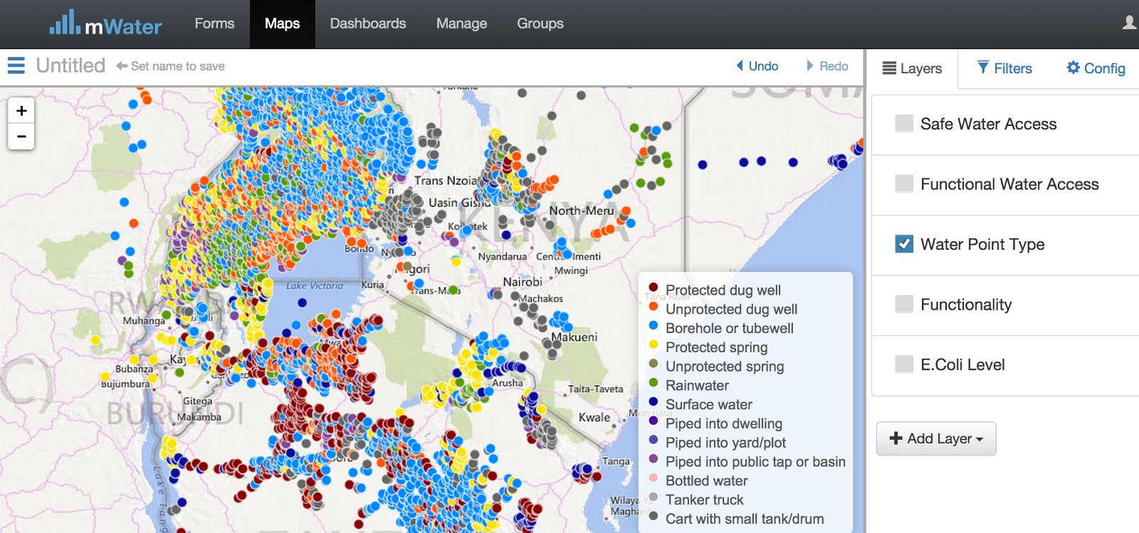
mWater
The contrast of India
The digital divide offers paradoxical situations such as the one experienced in emerging countries like India. A nation that will probably become the most populated one in the world has experienced an economic growth of 7.6 % in 2016 and is the most important recipient of foreign investment in start-up companies, new companies that bring together and generate an enormous technological knowledge and leadership. However, in India there are still 76 million people with no access to water and 600 million who defecate in the open.
Bangalore, the capital of the Karnataka state, named the “Indian Silicon Valley,” has served as a model of smart city for the Government and for many other cities in the world, which consider it one of the most innovative and productive cities in Asia. However, Bangalore has serious water supply problems and its future is overshadowed by the menace of climate change. The city has recently benefitted from the implementation of NextDrop, a simple app that was created with the goal of providing users with real time information about the water supply sent via SMS by the technicians of the operating companies.
NextDrop was created in 2010 400 km northwest of Bangalore, in the suburbs of Hubballi-Dharwad, where the water supply problems are endemic. Since then, the users of this app, which reached over 75,000 in 2015, have experienced several supply crises and thanks to this system have been able to reduce their waiting time from 20 to 40 monthly hours.
The voice of citizens
MajiVoice is being developed in Kenya, a service that allows the citizens of Nairobi to easily access their water and sewage supplier, the Nairobi City Water and Sewerage Company (NCWSC), through their mobile phone or a website. This is an initiative implemented by the Water Sector and Regulatory Board (WASREB) with the support of the World Bank, which has proven very useful in the taking of decisions on the improvement of the work flow and the reduction of the response time. This tool has also contributed to a clearer understanding of the operative environment of the related companies to better inform of the interventions in the event of a breakdown.
Another tool that brings users closer to the management of the water services is SIASAR (Rural Water and Sanitation Information System), a system based on an interactive website adapted to mobile devices and designed to compile, summarise and analyse data on the provision of water services in rural areas, measuring the access, the quality of the service and the effectiveness of the technical assistance.
SIASAR is a joint initiative launched by the governments of Honduras, Nicaragua and Panama, which has spread to the Dominican Republic, Costa Rica, Oaxaca (Mexico), Peru, Bolivia, Paraguay, Ceará (Brazil) and Bolivia.
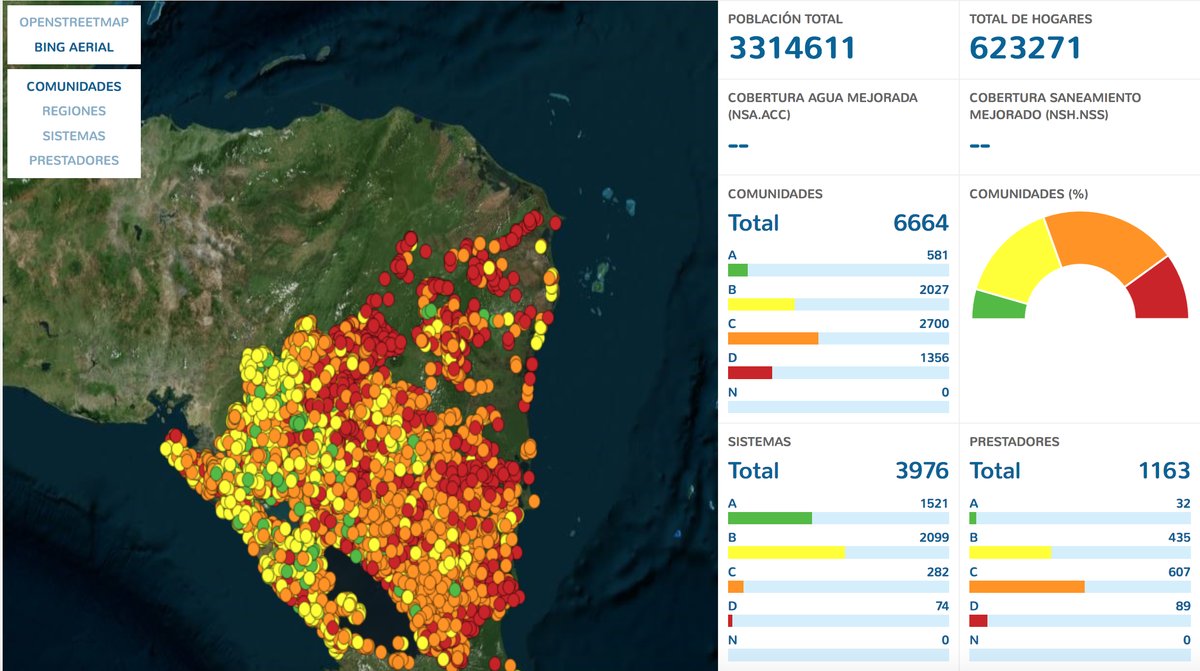
SIASAR
A weapon to fight invisibility
The success of these projects has driven similar pilot initiatives in other countries and also in the sanitation sector in India, Indonesia, Senegal and Nigeria. These experiences show that the ITCs have a very simple format and are low cost, while being able to provide fast and reliable information to users in the less developed areas based on the GSM coverage. These projects have also provided a realistic vision to governments and institutions helping to evaluate the problem of the lack of access to water which often remained hidden in the official versions due to the lack of data.
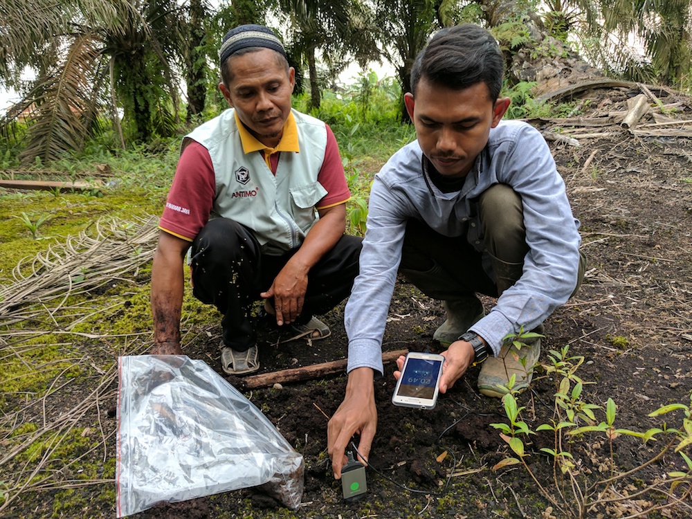
MCA Kehijau Berbak – Jambi Project ©Kehijau Berbak– MCA
Apart from the specific information on the access to water and sanitation, these apps also provide valuable data of the runoffs, the dryness of forests, the humidity of the soil and other factors such as the conditions of the roads and electric coverage, essential to devise economic growth and resource management strategies that remained invisible until now. These modest apps promise to spread to the developing countries and even be implemented by those who lead the digital transformation.


