Over 25 million individuals reside within the expansive domain of the Guarani Aquifer System (GAS), encompassing more than 1.1 million square kilometers (km2) and holding 30,000 cubic kilometers (km3) of freshwater. This aquifer system ranks as the world’s third-largest groundwater reservoir, surpassed solely by the Nubian Aquifer in North Africa, boasting 150,000 km3, and the Great Artesian Basin (GAB) in Australia, which contains 64,900 km3.
Specifically, over 30 million people in Argentina, Brazil, Paraguay, and Uruguay depend on this water source for their livelihoods. However, the advantages of the Guarani Aquifer extend far beyond these nations, benefiting hundreds of millions globally. Estimates suggest that the Guarani Aquifer contributes the most significant volume of water to the water footprint of international trade.

The Guarani Aquifer System spans over 1.1 million square kilometers, stretching beneath the territories of Argentina, Brazil, Paraguay, and Uruguay. It sustains the lives of over 30 million people in the region. © Nathan Sodré Salvatierra
Monitoring Millennia-old Water
The Guarani Aquifer primarily resides within sedimentary rocks comprised of sandstone and layers of clay and basalt, which formed approximately 20,000 years ago. Beneath the surface, the terrain consists of a series of sandstone layers ranging from 50 to 1,500 meters in thickness. Over the past two decades, significant aquifers worldwide have undergone continuous monitoring. Between 2003 and 2013, an initial study was conducted utilizing NASA’s GRACE (Gravity Recovery and Climate Experiment) satellites. This system measures variations in the Earth’s gravitational field to detect changes in groundwater levels, among other factors. Presently, the project continues with GRACE Follow-On.
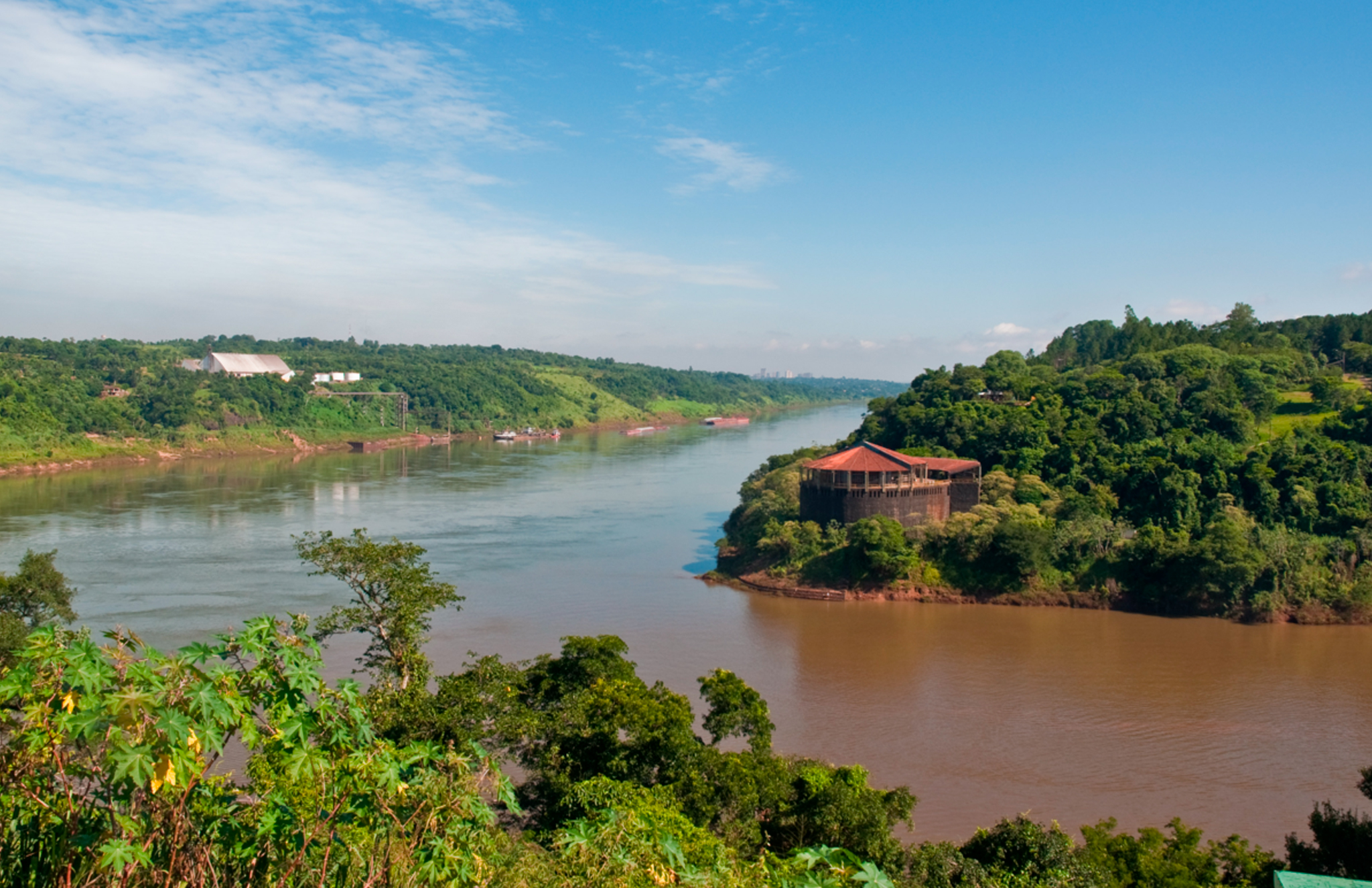
The Iguazú River, a significant tributary of the Paraná River, traverses regions that coincide with the extent of the Guarani Aquifer, particularly in the tri-border area shared by Argentina, Brazil, and Paraguay.
A Dispute on the Right Track
The conclusions drawn from the Water Resources Research study paint a concerning picture of global groundwater conditions. Of the 37 largest aquifers worldwide, 13 are experiencing depletion, particularly notable in aquifers like those in the upper Ganges basin in India. This highlights the pressing need to halt overexploitation and implement preventive measures in response to climate change. Despite the overall troubling trend, the Guarani Aquifer’s recharge level currently does not raise alarm among hydrologists. This is attributed to its significant capacity for renewal, estimated between 160 and 250 km3 per year, fueled by abundant rainfall. This distinguishing feature sets it apart from aquifers like the Nubian, situated in the eastern Sahara Desert, and the Great Artesian Basin, predominantly located in Australia’s arid zones, which have much lower rainfall recharge rates.
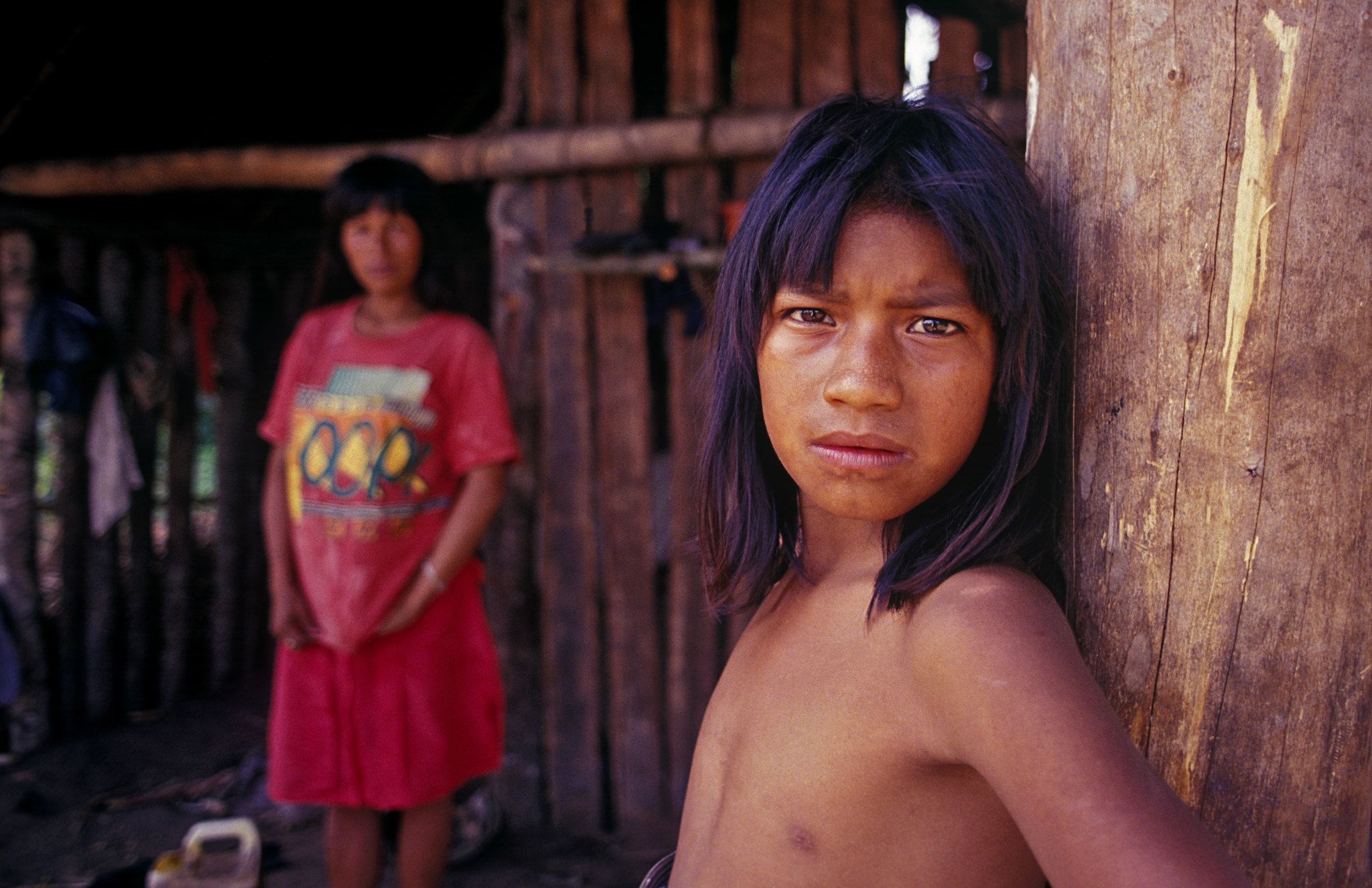
Including small communities, often marginalized and mistreated by economic powers, is essential for ensuring sustainability. It serves as a benchmark not only for Latin America but also for the global community. © Flickr
Historically, the Guarani Aquifer has sparked more political than scientific controversy. The conflict with fracking oil fields involving the US and China has introduced uncertainties regarding potential water contamination.
However, like many groundwater reservoirs globally, the most significant threats stem from unregulated extraction practices, inadequate governance, and particularly, in the case of transboundary aquifers, the absence of agreements and collaborative efforts to protect them.
The historical disagreements among the four countries sharing the Guarani Aquifer are currently being addressed. In 2010, a multilateral agreement was signed to manage the aquifer, and after more than a decade of scientific, technical, political, and diplomatic exchanges, it officially came into effect in November 2020. This agreement marked a significant milestone as the first in Latin America for the collaborative management of a transboundary aquifer, setting a precedent for global cooperation. Subsequently, the agreement progressed further, leading to the design of the Guarani Aquifer Strategic Action Program: Enabling Regional Actions in 2022. This program facilitates regional actions and is currently in the initial stages of implementation among Argentina, Brazil, Paraguay, and Uruguay.
Indeed, managing the Guarani Aquifer presents significant challenges due to territorial ownership and water usage disparities among the four countries involved. Brazil holds the largest share of the aquifer, occupying over 1.1 million square kilometers, with 735,918 km2, and accounts for 94% of water usage, primarily driven by the demands of its southern regions. Argentina utilizes 1% of the aquifer’s area with 228,255 km2, Paraguay uses 2% with 87,536 km2, and Uruguay utilizes 3% with 36,170 km2.
The collaborative approach is grounded in the belief that when the Guarani Aquifer thrives, all involved parties benefit. Conversely, if the aquifer faces pollution or overexploitation, the repercussions extend to the economy, environmental stability, and resilience to climate change, affecting everyone negatively. Through their cooperation, the four countries are assuming commendable leadership roles in the sustainable extraction and equitable distribution of water resources. This endeavor creates an appealing environment for investment, as highlighted by the Development Bank of Latin America (CAF) and UNESCO, the project’s promoters.
Another crucial aspect of the project is the empowerment of local management alongside national governments, which is fundamental for effective water management. Including small communities, often marginalized and mistreated by economic powers, is essential for ensuring sustainability. It serves as a benchmark not only for Latin America but also for the global community.


